BIRSAC projects reviewed by the Bihar Chief Secretary.
Photo Credit: Cabinet Secretariat
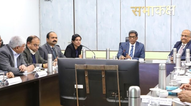
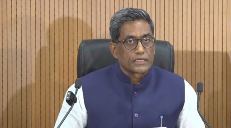
Patna, January 14, 2026: A review meeting of projects undertaken by the Bihar Remote Sensing Application Centre (BIRSAC) was held under the chairmanship of Pratyay Amrit, Bihar Chief Secretary, on Wednesday.
Development Commissioner Mihir Kumar Singh, Secretary of the Science, Technology and Technical Education Department, Dr. Pratima, along with Additional Chief Secretaries, Principal Secretaries, and Secretaries of various departments, attended the meeting.
During the meeting, the Secretary of the Science, Technology and Technical Education Department briefed the officials on BIRSAC’s ongoing activities.
It was informed that BIRSAC is actively engaged in creating a geospatial inventory of natural resources and departmental assets, providing spatial data support for state-level planning and development works, disaster monitoring and management, and developing village-level geospatial databases.
Pratyay Amrit directed officials for the utilization of BIRSAC’s geospatial services:
Reviewing the progress, the Chief Secretary directed all departments to ensure systematic and comprehensive utilization of BIRSAC’s geospatial services.
In this context, the BIRSAC Geospatial Service Utilization Policy of the state government was explained. Under this policy, geospatial analytics has been made a mandatory component of Detailed Project Reports (DPRs) for all infrastructure projects costing Rs 50 crore or more.
It was clarified that the concerned departments will be required to pay only 0.25 percent of the total project cost for availing BIRSAC’s services.
This nominal charge is aimed at strengthening the financial capacity of the institution and making it self-reliant without imposing any additional burden on the state exchequer.
The Chief Secretary emphasized that the integration of BIRSAC’s geospatial capabilities into infrastructure planning is no longer optional but mandatory to ensure scientific, data-driven, and future-ready development.
He instructed departments to incorporate geospatial inputs at the planning stage itself to avoid technical, administrative, and land-related complications at later stages.
Technical approval required for DPRs:
He further clarified that technical approval from BIRSAC will now be mandatory before granting financial approval to DPRs of all infrastructure projects exceeding Rs 50 crore, and directed all departments to strictly adhere to this system.
The departmental secretary also informed that a digital tool is being developed in collaboration with the Bhaskaracharya Institute for Space Applications and Geo-informatics (BISAG-N) for DPR preparation.
The tool will utilize data available on the PM Gati Shakti portal to assist in project planning, alignment, and assessment, thereby improving accuracy and efficiency in DPR formulation.

Departments present at the meeting agreed that the system would prevent duplication of work, reduce costs, and help identify potential challenges such as land acquisition, forest clearance, and cross-drainage issues at an early stage. The system will also aid in disaster management and monitoring activities, including stubble burning.
The Chief Secretary directed all departments to regularly update project progress on the portal and strengthen inter-departmental coordination.
He appreciated the work being carried out by BIRSAC and stressed the need to further enhance the institute’s technical and human resource capacity.
Also Read: BCCI urges the Bihar government to set up MSME facilitation councils in every division.
EOM.